New Map App Redefining How We Measure Walkability
Mike Colagrossi

A fresh approach to urban mapping is making it easier to see how walkable your neighborhood really is.
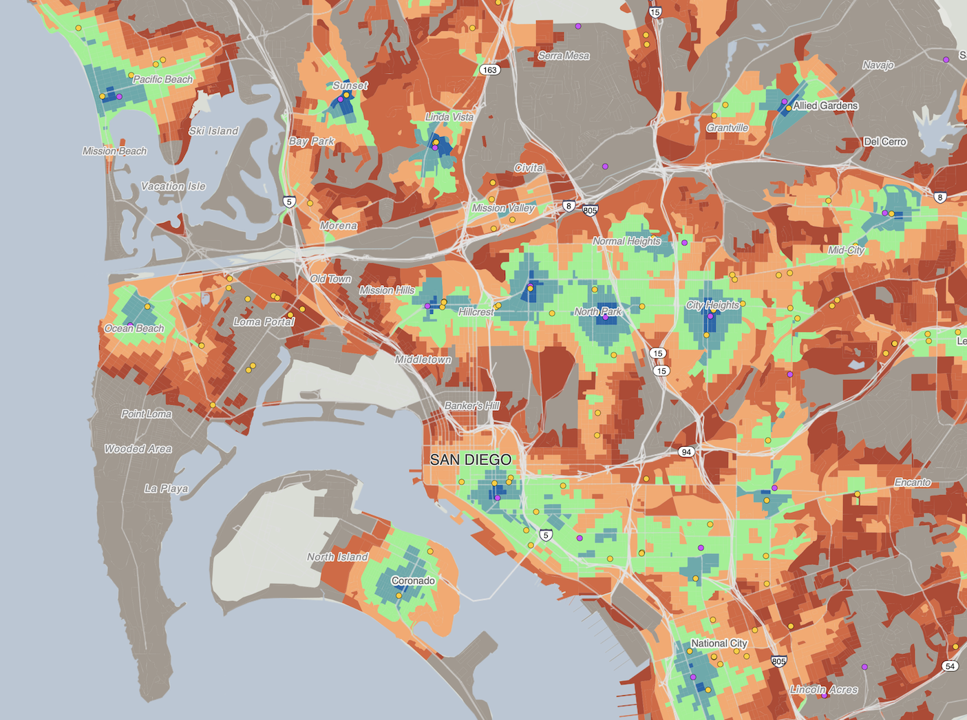
- In February 2023, geographer Nat Henry introduced an interactive travel-time map that visualizes the proximity of essential destinations using color coding. Initially focused on Seattle, the map quickly went viral and gained traction beyond the city.
- Henry has since expanded the tool, now called Close, to allow users to explore the walkability, bike-ability, or transit accessibility of any neighborhood across the U.S.
Urban View: The map not only serves individuals looking for walkable areas but also offers a valuable resource for local governments to identify infrastructure gaps and neighborhood inequities. While many house hunters rely on the standard “walk score” found on Zillow, the creator of Close believes his tool offers greater flexibility and customization.
Earlier this month Bloomberg News spoke with Henry about how the project began and his future plans for Close.
Rethinking Walkability Through our Maps
Close’s “time to furthest important destination” method challenges conventional walkability metrics, offering a more tailored view of urban accessibility.
- Walk Score ranks Seattle as the ninth most walkable U.S. city, with a score of 74.4.
- Yet Henry found through his map that only 44% of Seattle residents can walk to basic amenities within 15 minutes.
What sets Close apart:The difference? Close prioritizes destinations that matter most to users. Unlike traditional rankings, which aggregate data into a single score, Close lets users choose the amenities they care about, mapping the time to the furthest one. As you add more destinations, the area with 15-minute accessibility shrinks, creating a customized picture of walkability.


